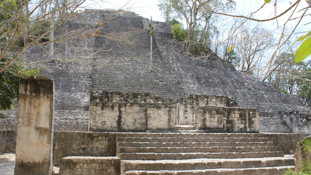
It took Pietro Miotti less than 72 hours to go, as he put it, "from a random thought while traveling to an official reply from the Mexican government." It took professional archaeologists even less time to point out that his agents' big discovery was not a discovery at all.
Miotti, a researcher at Google who stressed the project was a personal side project done without any Google compute or resources, set a team of 48 AI agents loose on NASA lidar data to look for undocumented Maya sites. The agents flagged numerous promising locations, including "one major village" that did not seem to be registered anywhere. Miotti asked Mexico's National Institute of Anthropology and History (INAH) to check, and INAH reported no record of the site. He wrote up the find, hailed it as evidence that "we're on the brink of a revolution across every science," and called for the entire planet to be mapped with lidar so agents could "help us find the rest."
There was one problem: the site had already been discovered, surveyed and published in an academic journal more than a year earlier. Ivan Sprajc, a professor of archaeology at the Research Centre of the Slovenian Academy of Sciences and Arts and a co-author of that paper, told The Verge that archaeologists have been using lidar and other sophisticated remote sensing tools "for quite some time," adding that "just spotting something does not add much to our knowledge."
The criticism landed fast and from several directions. Sarah Parcak, an archaeology professor at the University of Alabama at Birmingham, wrote on Bluesky: "This is why we have peer review," stressing that a site's absence from a government database does not make it unknown. Elizabeth Graham, a professor of Mesoamerican archaeology at University College London, noted that most archaeologists in the Maya region know of "tons of sites" never excavated or mapped — many found on foot — and that local communities are often well aware of the ruins near them, which makes the word "discover" loaded.
Miotti took the correction on the chin. He acknowledged that he is not an archaeologist, that he and his agents had missed the prior publication, and that checking whether a site is known means comparing lidar images against figures in papers — because archaeologists rightly do not publish coordinates — which is much harder for agents than querying a database. He updated his blog post to credit the earlier work, and says archaeologists and PhD students have since reached out excited about the workflow for their own survey data.
The deeper issue is a familiar one in AI-assisted science: detection is not the same as discovery. An agent can pattern-match geometric mounds out of dense foliage, but the knowledge that matters — which features are already documented, in which foreign-language monographs, and what they mean — lives in literature and expertise that these workflows do not touch. Sprajc told The Verge that checking with INAH is "not sufficient" because the institution does not hold all possible information, and said he is already receiving emails from other AI "discoverers."
He also flagged the risk that gets less attention: publicized coordinates can attract looters to unexcavated sites. As agent swarms get cheaper and every lidar dataset becomes a weekend project, the bottleneck in archaeology — as Graham points out — is not finding candidate sites but funding the fieldwork to confirm them. The Maya village episode will not be the last overclaim of its kind; the useful part is that the correction happened in public, by the people who did the work first.
Comments (0)
Log in to join the discussion
Log InNo comments yet